 |
|
|
| |
| answers to Lab 9 questions
| Last Updated • November 1, 2016 | |
PALEOGEOGRAPHY
question 1, page 89
- Your line should be close to the zero western line, passing between the "t" (terrestrial) and "m" (marine) symbols. That would be the approximate edge of the sea that covered much of North America during the Late Cretaceous
question 2, page 89
- You should look for coastal, transitional facies, or even continental facies; for instance, sandstones (either quartz sandstones or arkoses) and conglomerates, coal beds; fossils of land plants and animals, possibly of shallow marine organisms. Your sequence cannot end in the middle of the depositional basin.
question 3, page 90
- It was the source of the sediments filling up this Late Cretaceous basin. The presence of conglomerate suggests a mountain chain
question 4, page 90
- From terrestrial to coastal, to shallow marine, to deep marine
question 5, page 90
question 6, page 90
- Erosion that occurred after the Late Cretaceous
question 7, page 91
- The western zero line in Fig, 9.2 represents the border of a region in which Lower Silurian rocks have been deposited but have ben lost to erosion. The reason is that you cannot have pelagic limestones at the edge of a depositional basin.
TRANSGRESSION AND REGRESSION OF THE SEA
question 1, page 92, top left column
- yes
- each lithofacies is characteristically distinct, in terms of lithology, from the others
question 2, page 92, left column
- no
- you can trace the vertical sequence by matching it horizontally and observing that the same formation was deposited at different times in different places (Walther's Law)
question 3, page 92, left column
- three
- the pulses of transgression
question 4, page 92, left column
- in case of a regression, the sequence is reversed: from bottom to top, limestone, shale, sandstone
SHORELINES OF CAMBRIAN TIME
question 1, page 92, bottom left column
- A mature, sorted and rounded quartz sandstone
- Gray shale and limestone
question 2, page 92, right column
- The sea transgressed
- You can notice in the paleogeographic maps of Fig. 9.4 that coarser facies were covered by fine facies (sandstone by shale, and shale by carbonate), thus indicating a rise in sea level
- Late Cambrian
question 3, page 92, right column
- The presence of quartz sandstone around areas where there is no record, indicating that these were islands surrounded by a beach.
question 4, page 93
question 5, page 93
- Draw the contact (exactly below the last layer at the bottom of the pile)
- A non-conformity
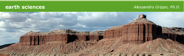
ANCIENT SHORELINES IN THE BOOK CLIFFS OF UTAH
question 1, parts I, and II, page 93
- trace the line
- terrestrial, lagoonal, littoral, marine
question 2, parts I and II, page 93
- The tongues of sand were deposited as the sea regressed
- The tongues of sand are found on top of the marine shale
- the shoreline retreated
- Because the coal, a land facies, is found on top of a sand representing a beach or an offshore island
question 3, page 94
question 4, page 94
- Label the formations
- the exposures of shale present a gentle to steep slope, while sandstones cliffs are vertical
Back to Top | Back to the Labs Page | Back to the Home Page
© Alessandro Grippo, since 1994
Los Angeles, California |
|